
Start a Clay County Property Records Search
Clay County property records sit in several different offices. A good property search means knowing which system answers which question. You can search Clay County property records by address, owner name, or parcel number and pull the matching deed, appraisal, tax bill, or map from there. The County Clerk records deeds and probate papers. The Assessor tracks owners and values. The Sheriff collects the taxes, and the state viewer maps each parcel. One record points to the next. Still, no single search proves clear title or a settled boundary.
- Search the state assessment portal by Clay County, street name, owner, or full parcel ID.
- Copy the root parcel ID, district, map, parcel, and any deed book/page reference shown.
- Use the County Clerk's grantor-grantee index or contact the clerk for a deed lookup and copy.
- Open the WV Property Viewer to compare the parcel, address, flood context, and assessment report link.
- Ask the Assessor, Sheriff, or Clerk for a counter, phone, mail, or FOIA route when the needed record is not online.
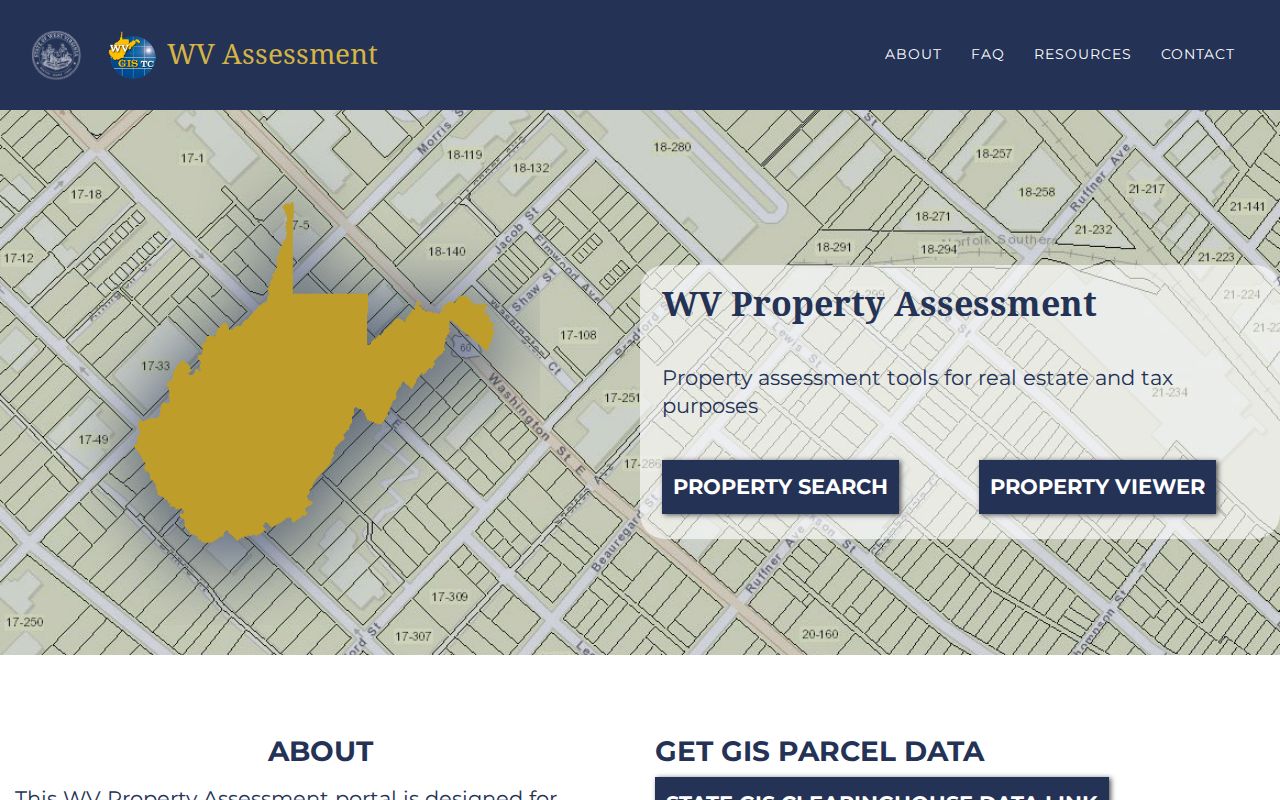
The West Virginia Property Assessment Search is the live starting point for any Clay County parcel lookup.
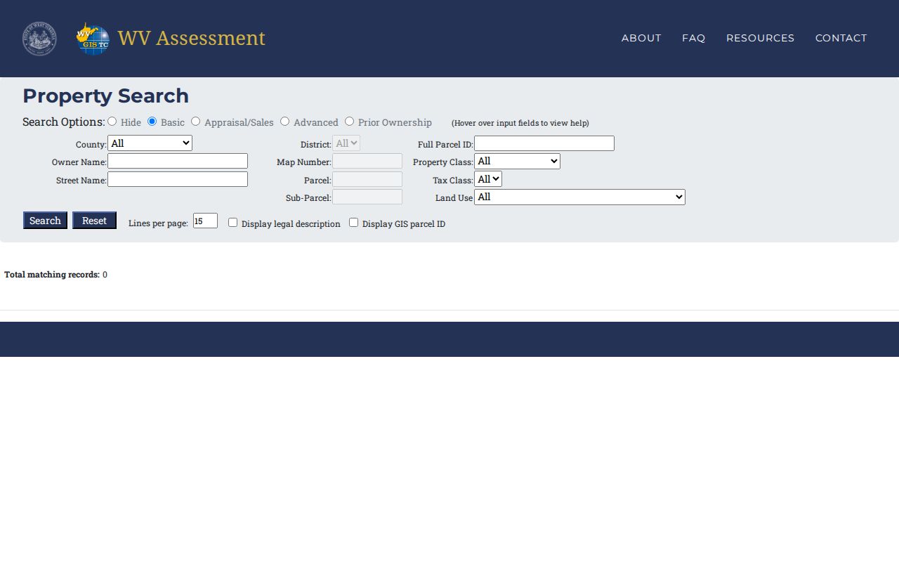
A sample statewide result displays the owner, property address, parcel identifiers, and appraisal columns. Compare any Clay County return against that layout.
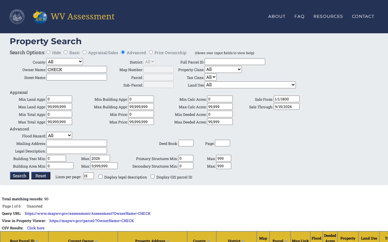
The sample is not a Clay County parcel listing. Use it only to learn how the live results are arranged.
Offices That Keep Clay County Property Records
Clay County property records are not held in one courthouse book or a single portal. The County Clerk records deeds, plats, county instruments, probate files, and delinquent-property notices. Teresa Davis, the County Assessor, keeps the tax maps and assessment records. Sheriff Donald J. Triplett Jr. serves as county treasurer and tax collector. The Circuit Clerk holds court files that can affect land. Judgments, quiet-title cases, partitions, or foreclosures all appear there.
Clay County Clerk
246 Main Street, P.O. Box 190
Clay, WV 25043
304-587-4259
The Clay County Clerk's official recordkeeping page names the office that records deeds, probate matters, and related instruments.
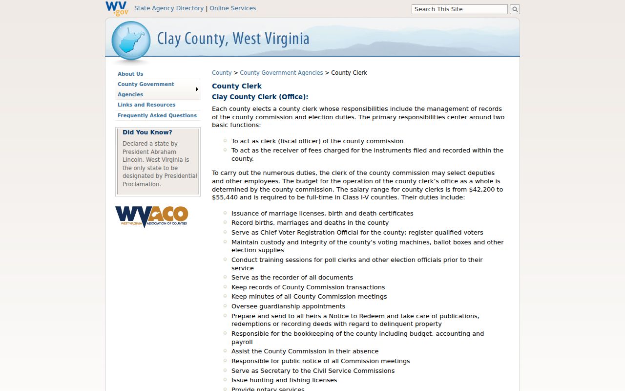
Call the Clerk at 304-587-4259 to ask about the right book, index, copy, or current access route.
Reading Clay County's Parcel ID
West Virginia parcels use a six-part root ID. The parts are county code, district code, map, parcel prefix, parcel suffix, and special ID. The state FAQ shows the example 31-05-0007-0031-0015-0000. Use the ID the system returns for the parcel rather than guessing a county prefix. The GIS parcel ID drops the special ID. The CAMA/IAS form leaves off the county code. An abbreviated version may read like district-map-parcel.
Keep every version alongside the deed book/page and legal description. A root ID can join an assessor result to a viewer parcel. The County Clerk's recorded instrument remains the true record of what land passed. A different spelling, suffix, or parcel split can explain a mismatch. That is often why one number fails in another screen.
The WV Property Viewer links selected parcel details to the assessment report.
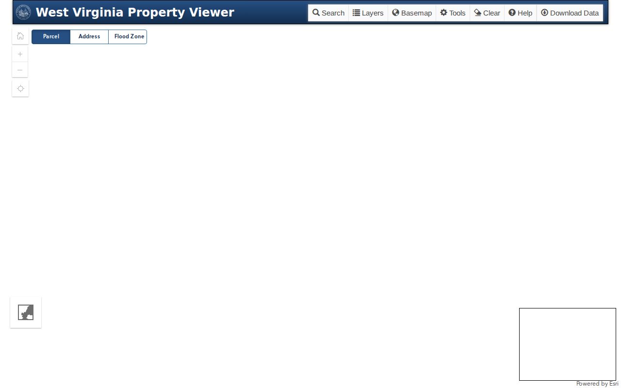
The viewer's Highlight, Copy Link, and Download KMZ controls help keep a parcel reference alongside your notes.
A Clay County Deed Can Lag the Viewer
Statewide assessment and viewer data refresh once a year. A simple ownership change may not appear right away. New parcel lines can wait for a later map submission cycle. Assessors submit revised tax maps by February 1. That covers transfers from the prior July through June. That rhythm explains a common lag. A freshly recorded Clay County deed can run ahead of the public assessment page.
The County Clerk's page also notes that historic Grantor/Grantee Index books are off site for digitization. The target is Spring/Summer 2026, with no exact release month. That notice describes work underway, not guaranteed online access. Call the clerk if a sale or old index entry is missing from the web.
The state assessment FAQ explains the annual updates and parcel-line limits.
Use the recording date on the deed as the newer clue. The tax roll will catch up later.
Clay County Property Records by Record Set
Each record answers a different question. A Clay County property file often needs a tax-roll lookup to find the parcel, a recorded deed to confirm a transfer, and a map or court file to explain a boundary or claim. The table separates those jobs so one result never stands in for the whole history.
| Record Type | What It Documents | Kept By | Access |
|---|---|---|---|
| Deeds and releases | Transfers, liens, trust deeds, releases, plats | Clay County Clerk | Counter, mail, phone, and any confirmed index |
| Mortgages and liens | Deeds of trust, assignments, releases, judgments | County Clerk, Circuit Clerk, WV SOS for UCC | County index, courthouse, or state filing search |
| Assessment and tax maps | Owner of record, parcel ID, acreage, appraisal and class | Clay County Assessor / WV Tax Division | Free state search and viewer |
| Tax tickets and delinquency | Current bill, payment, collection, redemption status | Clay County Sheriff / County Clerk | Ask the tax office; no local bill portal located |
| Plats, parcels, and cases | Lot/block, reference geometry, foreclosure and title cases | County Clerk, WV Property Viewer, courts | Viewer, plat request, WVPASS, courthouse |
Use Clay County deed records for the recorded instrument and the chain of title. The separate property tax records lookup covers assessment and collection. A recorded plat is not a tax map. A court docket is not a full title search.
Assessed, Appraised, and Taxed in Clay County
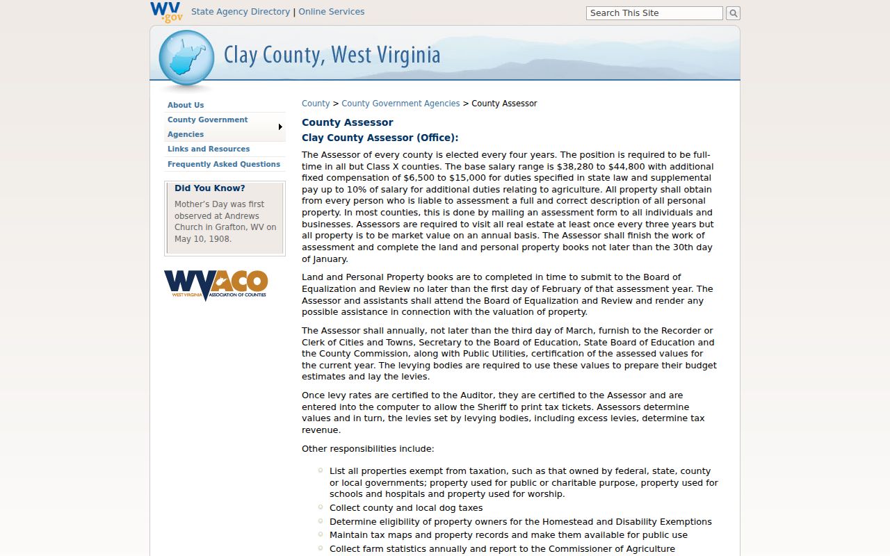
Clay County assesses property annually at market value, with parcels generally assessed at 60 percent of true or actual value. So the appraised value and the assessed value rarely match. An exemption can change the taxable outcome without touching the full appraisal. The assessment books close by January 30. Values are certified by March 3. The Assessor visits each parcel of real estate at least once every three years, which keeps the Clay County property records tied to current conditions.
When reading a card, treat land appraisal, building appraisal, and total appraisal as separate fields. The Assessor owns the parcel and assessment record. The Sheriff is the tax collector. That means tax tickets, balances, payment history, and tax-sale questions all belong with the Sheriff's office, which publishes no online tax-bill portal for Clay County. Request a current ticket directly instead.
The Clay County Assessor's office page lays out the local assessment cycle.
The State Property Search supplies the appraisal fields. For a card correction or an appeal, contact the county office directly.
Clay County Sheriff Tax Records
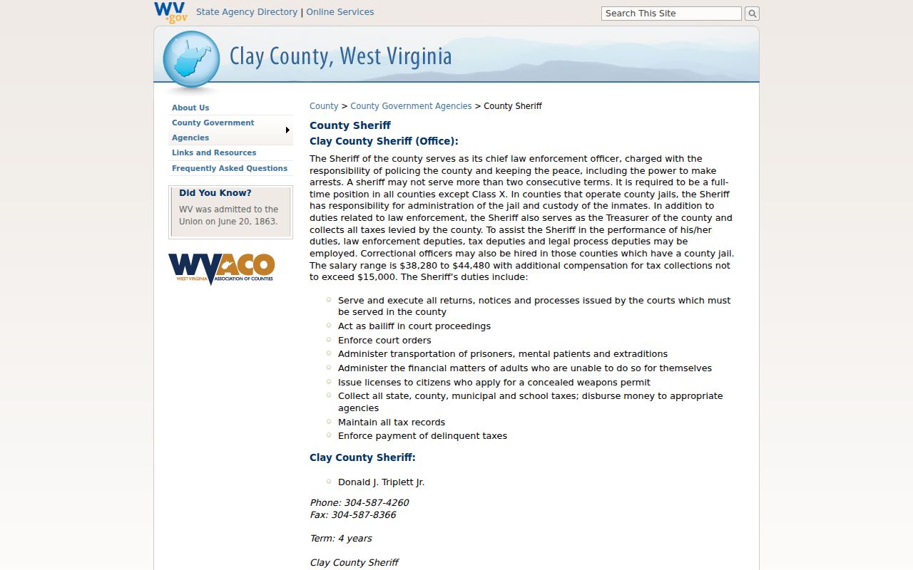
The Sheriff doubles as Clay County treasurer. The office collects state, county, municipal, and school taxes. It maintains the tax records and enforces delinquent taxes. Its public page names those duties but offers no local online bill search, payment history, delinquency portal, or sale calendar. So the tax roll questions go through the office itself.
For a parcel with an unpaid balance, ask the Sheriff tax office for the current ticket. Ask also for the years due, payment status, and whether a delinquent-land notice or sale step has begun. The County Clerk then takes over. That office handles Notice to Redeem, publication, redemption paperwork, and delinquent-property deeds. Each step leaves a paper trail separate from the assessment card.
Two state tools help. The state viewer's Delinquent Lands layer is updated weekly. The State Auditor's Delinquent Land Database covers nonentered lands sold for delinquent taxes and redemptions. Confirm notice dates and redemption timing with the responsible office before acting.
The Clay County Sheriff page identifies tax collection and delinquent-tax enforcement.
A viewer layer is only a lead. The Sheriff or Clerk supplies the official balance and legal status of a parcel.
Clay County Tax Maps and Boundaries
Clay County parcels are easiest to explore on the WV Property Viewer. Select a parcel by address, owner, or flood zone. A detail panel then opens with more. It can display the property owner, E-911 address, building details, and cost values. Appraised values, delinquent status, and flood information appear there too. The toolbar offers Highlight, Copy Link, and Download KMZ controls. Any parcel selected on the map leads back to its assessment report. That report ties the map view to the county's underlying property records.
Digital tax maps and GIS files come free from the WV GIS Clearinghouse. They are updated yearly under the state's SB 588 policy. The Henry District sheet sits in the county's 2023 map archive. Treat these maps as reference tools, though. The sheet carries a disclaimer. It states that it is not a valid survey plat. The state's FAQ notes that parcel lines are best-fit tax reference lines rather than conclusive court boundaries. When a conflict arises, deeded acreage outranks the GIS-calculated area.
Facing a lot split or a legal boundary question? Rely on the deed, the recorded plat, and a licensed surveyor. The Clay County parcel maps instructions walk through the single-parcel map workflow. The WV GIS Clearinghouse's tax-map collection holds downloadable county map materials. It includes the Henry District sheet with its survey warning.
Two routes cover different needs. The WV GIS Clearinghouse page handles data downloads, while the County Clerk keeps the recorded plats. For a live look at the Property Viewer delinquent-land layer, open the statewide parcel viewer and search interactively.
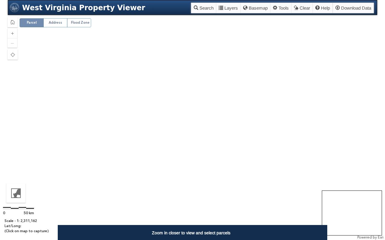
The Property Viewer delinquent-land layer is a starting point only. Current legal status requires an answer from the Sheriff or Clerk.
Town of Clay Records and Address Clues
Clay is the county's only incorporated town. Every county assessment, deed, surface tax-map, and tax-collection record stays with Clay County custodians. The town adds a second layer of records. It handles building permits, inspections, zoning compliance, planning decisions, and special permits. It offers no live permit lookup or address-indexed inspection search. Requests go through the town offices directly.
The town's name has shifted over time. It was Marshall, then Henry, then Clay Court House, before settling on Clay. The 1927 Blue Book says the official name changed to match the postal designation. State Route 16 serves as Main Street. Two Run functions as a satellite business area. Leatherwood, Big Buffalo, Groves Creek, and Procious are localities rather than proof of town boundaries. A Clay mailing city or ZIP 25043 does not place a parcel inside the incorporated limits. Check before assuming.
For permit history, request a search by address and ask how the files are indexed. The 2016 packet lists zoning information research at $30. It also lists copies by page size, variances, special permits, plats, and site-plan fees; confirm current charges before relying on them. The town's municipal contact listing gives its PO Box 55 and phone 304-587-4233.
Clay County Property Records After the 2016 Flood
The June 2016 flood hit Clay hard. That date anchors many a house-history search in Clay County. It cannot prove a given parcel flooded, though, so weigh the assessment from before and after against town permits, code and inspection files, flood layers, deeds, and newspaper accounts.
Terrain shapes the record trail here. The Elk River bottomland is narrow and the gorge is steep, which keeps the buildable footprint tight. Older Clay County deeds often skip street numbers entirely. They describe river banks, side hollows, creeks, ridges, adjoining owners, and farms instead. A tax map helps you place the parcel. The legal description separates building from land. For an official flood determination, the state viewer points researchers to the WV Flood Tool and local floodplain officials.
Permits tell their own story. A property records search result alone cannot explain repairs or structural changes, but town permit files can. Ask staff whether the files sit under a current or former address, and keep the permit date with your deed and assessment notes.
Clay County Local History for Deed Research
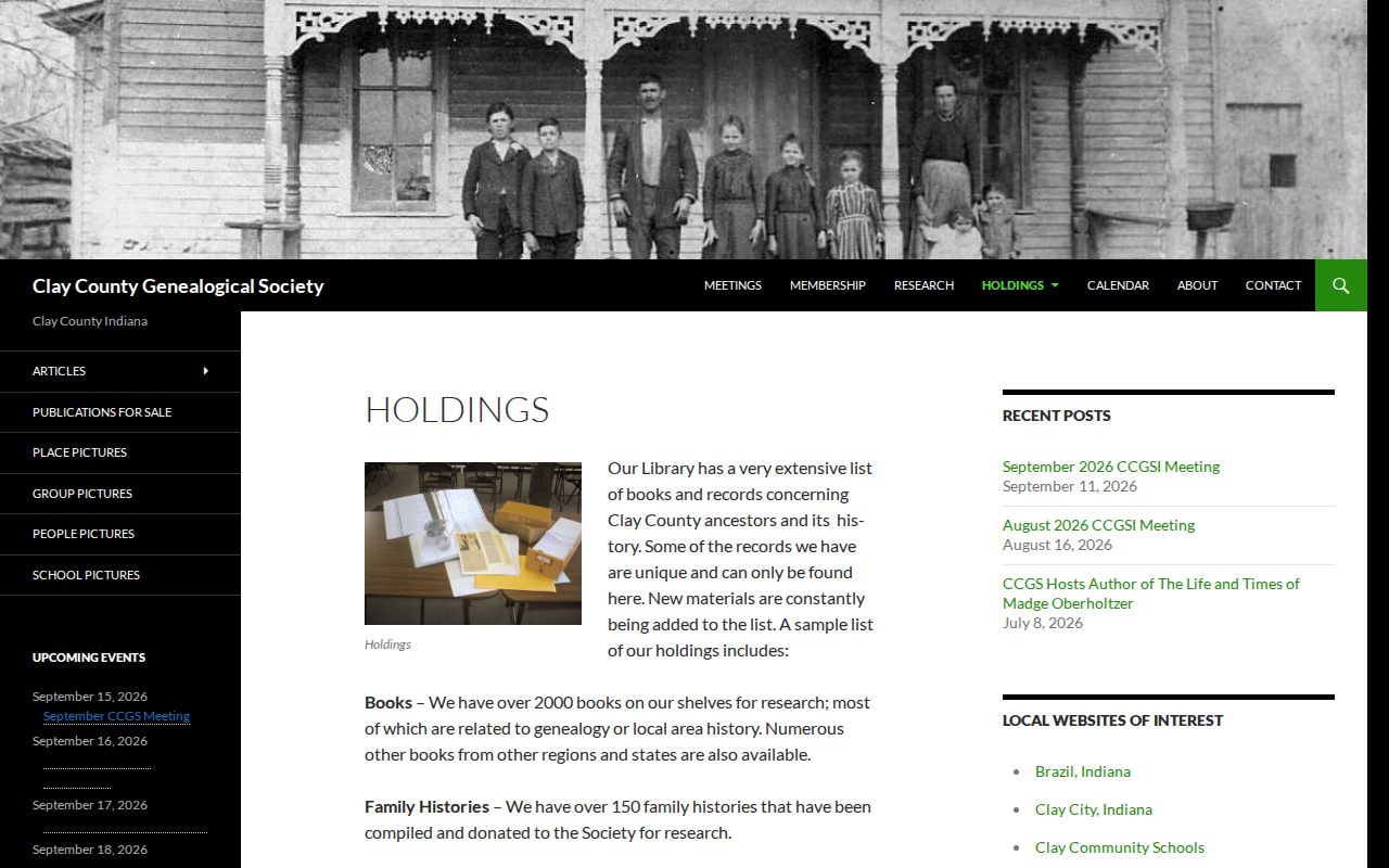
Clay County Public Library opened in 1962. Its current building dates to 1982. Visitors can read the local Free Press there and use computers, printing, copying, scanning, and local history materials. The Genealogical Society collection runs deeper. It reports more than 2,000 books, 6,000 family files, cemetery books with a master index, funeral-home files, and old newspaper clippings and obituaries.
Old deeds love a spelling variant. These collections sort that out, tying a deed surname to a family, estate, church, school, or cemetery clue. None of it replaces a certified vital record. The County Clerk's recorded instrument still governs. The library's page lists printing and scanning costs, so check it before ordering copies.
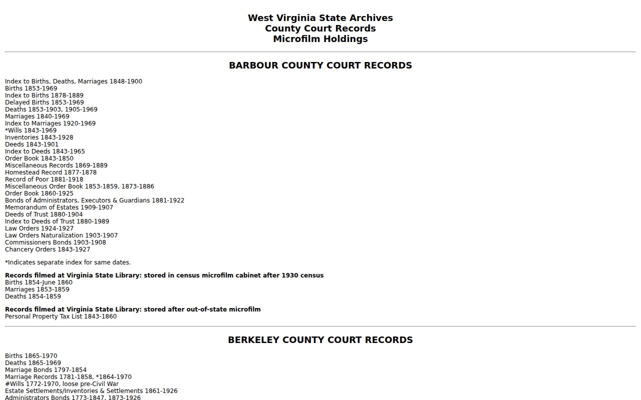
The West Virginia State Archives finding aid describes Clay County deed indexes and historical tax materials from 1858 through 1968.
WVU's finding aid lists Clay County's early deed books.
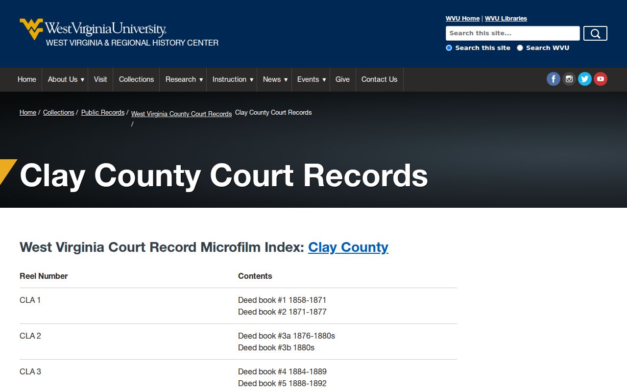
Use the finding aids to pick a volume. Confirm access and copying arrangements with the holding repository. The Clay County Public Library services page describes local paper access.
The Genealogical Society's holdings list includes family-name files and cemetery indexes.
Let local history sharpen your index search. Then return to the deed book and the legal description for proof.
Limits of a Clay County Property Record
A Clay County property record has edges. A recorded deed, the assessment owner, a tax balance, a parcel location, or a filed court action can all appear in the public records. Private agreements stay off the books. No search proves the owner of record is current. The state viewer calls its tax parcel lines reference lines, not legal boundaries, so treat them accordingly. For boundary questions, read the deed and hire a licensed surveyor.
Lawful use. Use Clay County records for property, title-history, family-history, tax, map, and civic research. Do not use an address or record trail to stalk, threaten, or harass anyone; public data may also omit protected information.